Thanks to climate change, this year’s storms are particularly tough and early – just ask Florida, which is bracing for Hurricane Debby, which might or might not worsen as it hovers over warming ocean waters.
Forget the Timelines

Image Credit: Shutterstock / Frame Stock Footage
Atlantic Hurricane season generally runs from June 1st through to November 30th. According to the Hurricane Center, the most severe storms usually hit between mid-August and mid-October.
However, 2024 has proven that storms no longer abide by schedules, as is the case with the latest storm to hit the US.
Arriving Early
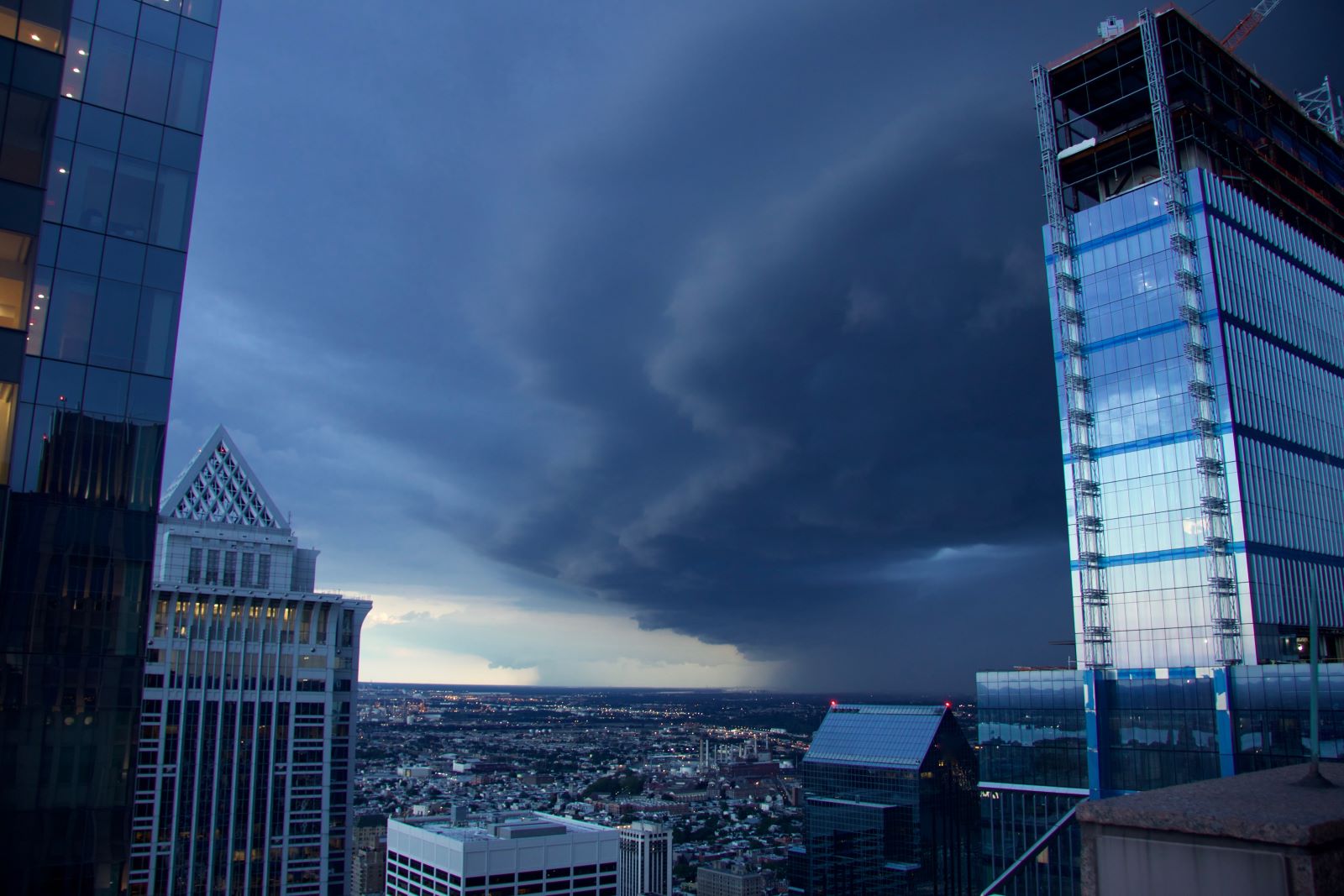
Image Credit: Shutterstock / Clay Cofer
Following Hurricane Beryl’s destruction in the Caribbean and Texas last month (deemed as the earliest Category 5 Atlantic hurricane ever recorded), the second storm wasn’t supposed to arrive until August 26th.
Yet Hurricane Debby decided on an early debut.
First, Some Rain
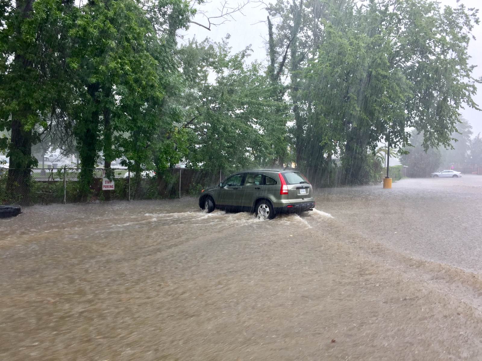
Image Credit: Shutterstock / John M. Chase
Early on Sunday, Debby started dropping rain on various parts of Florida. But weather predictions say that was only the start, as potentially historic amounts of rainfall can be expected across the southeastern United States.
Monday Mayhem
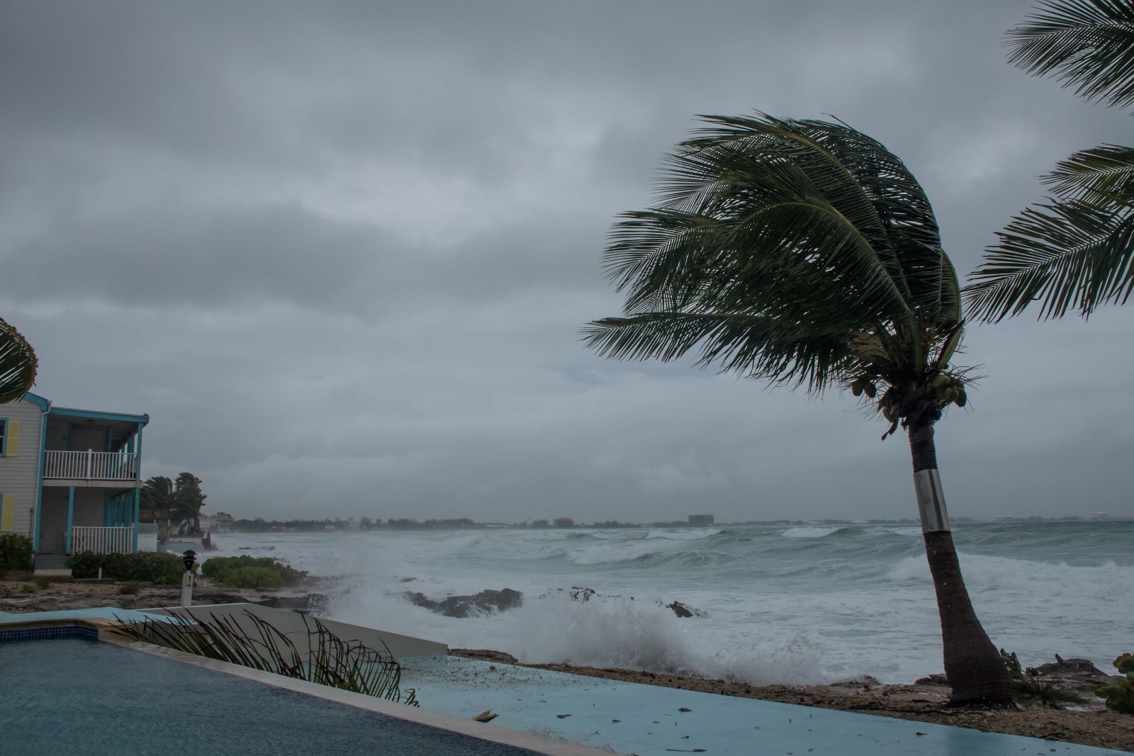
Image Credit: Shutterstock / Drew McArthur
As the storm’s outer edges crept onto the Florida shore on Sunday, experts say that full-blown hurricane conditions are predicted to hit Monday morning.
But Sunday’s conditions were already regarded as hazardous, with two boaters being rescued after 50-knot winds and 15 – 20-foot seas tore a sail off, as stated by the US Coast Guard in Tampa Bay.
In the Dark
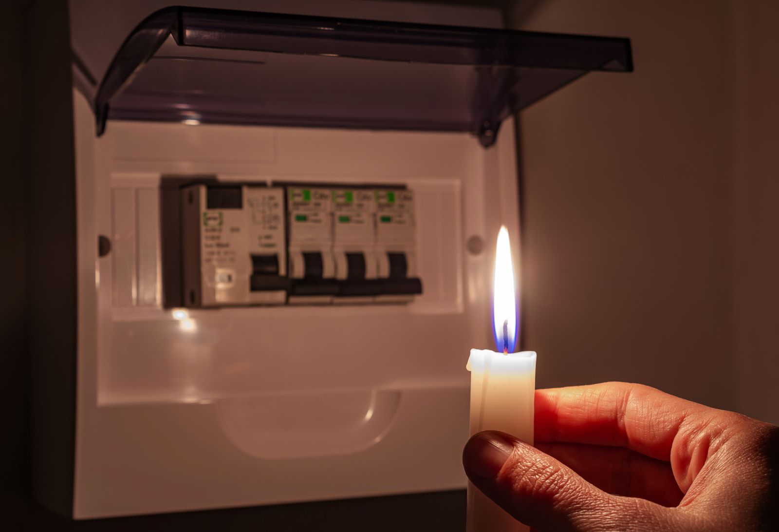
Image Credit: Shutterstock / Yevhen Prozhyrko
According to PowerOutage.us, by Sunday night, over 78,000 customers in Florida had already lost electricity.
And now the Weather Prediction Center claims that Debby will be moving into the Apalachee Bay area of Florida as it continues northward over the Gulf by early Monday.
What a Week
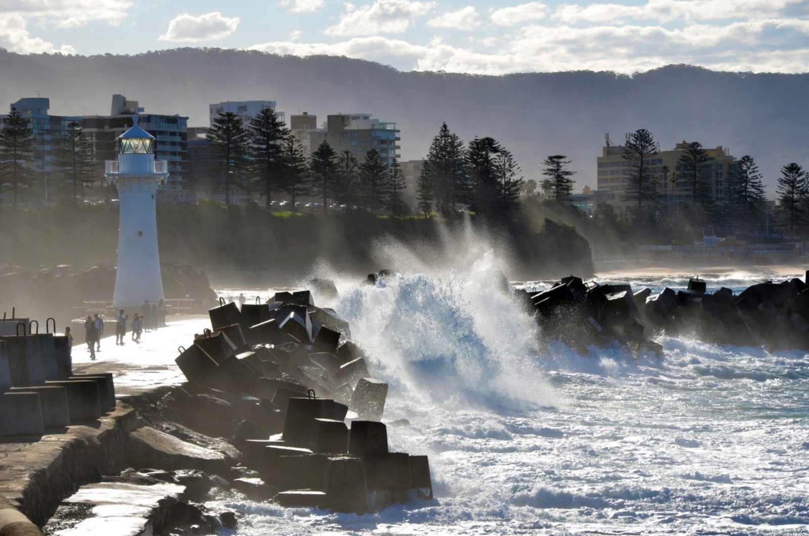
Image Credit: Shutterstock / KarenHBlack
The hurricane center added that the storm could reach the Big Bend’s coast around noon on Monday before moving across northern Florida and southern Georgia during the day into Tuesday.
School’s Out for Storms

Image Credit: Shutterstock / Inside Creative House
Bracing for the impact, multiple schools located in the predicted path of the storm, including the University of Florida and Georgia Southern University, have canceled Monday classes.
Officially an Emergency

Image Credit: Shutterstock / wellphoto
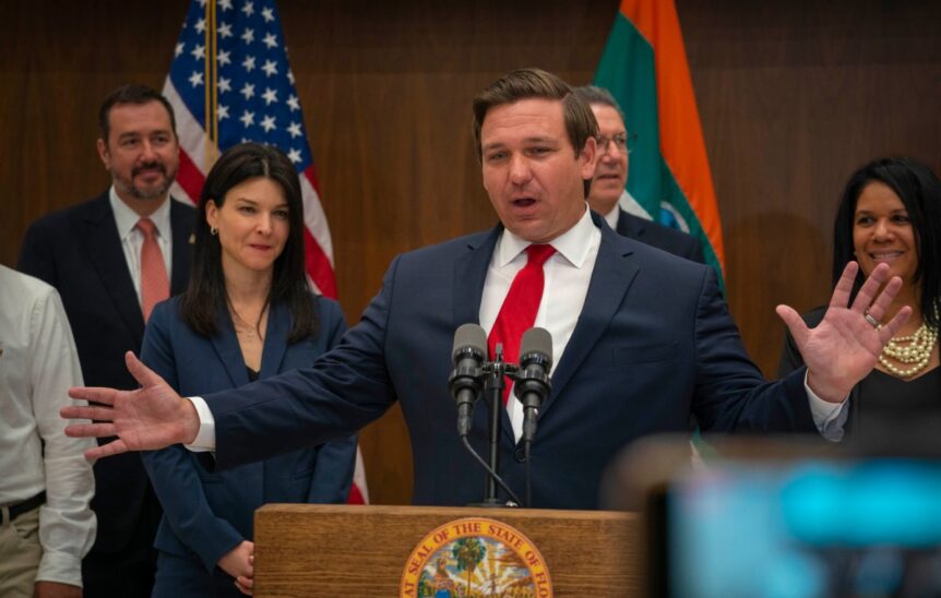
To prepare for Debby, states of emergency have been declared by Florida Gov. Ron DeSantis, Georgia Gov. Brian Kemp, and South Carolina Gov. Henry McMaster.
During a news conference on Sunday, DeSantis said he had activated the Florida National Guard to stand by for any potential assistance, including search and rescue.
Get Ready

Image Credit: Shutterstock / Leonard Zhukovsky
DeSantis also warned residents, “particularly in parts of the state like here in Tallahassee,” to finalize their preparations and get ready for power outages.
“There’s going to be a lot of trees that are going to fall down. You’re going to have debris. You are going to have power interruption,” the governor said, “so just prepare for that.”
Biden Agrees

Image Credit: Shutterstock / Consolidated News Photos
Warnings were also issued by the White House, as President Joe Biden declared an emergency across Florida on Sunday, authorizing the Federal Emergency Management Agency to implement disaster relief efforts for the “purpose of alleviating the hardship and suffering caused by the emergency on the local population.”
Slow, but Deadly
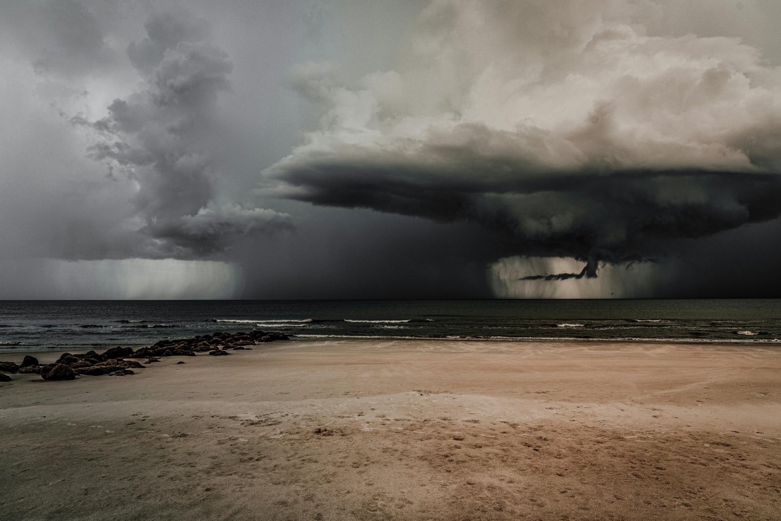
Image Credit: Pexel / ALTEREDSNAPS
What’s increasing Debby’s potential danger and impact, particularly along the Georgia- and South Carolina coasts, is the fact that it’s big and slow.
The intensification of the storm, as it builds and potentially develops into a hurricane, results in a significant risk of life-threatening storm surges along the Florida coastline early on Monday.
The worst surge is expected in the areas where the storm makes landfall.
What to Expect

Image Credit: Shutterstock / zayatsphoto
According to the Hurricane Center’s forecasting, this storm could accelerate quite quickly, increasing its winds to about 90 mph when it hits the coast.
This could result in a water wall 6 – 10 feet high, with the higher level happening if the hurricane hits at high tide.
Umbrellas, Anyone?

Image Credit: Shutterstock / Olena Yakobchuk
On Sunday, the impending storm’s clouds were already spreading across a vast portion of Florida.
The storm’s center is expected to approach Savannah on Tuesday night and move along the South Carolina coast by Thursday night.
“Multiple days of very, very heavy rainfall” is possible according to Michael Brennan, hurricane center director.
Bracing for the Week Ahead
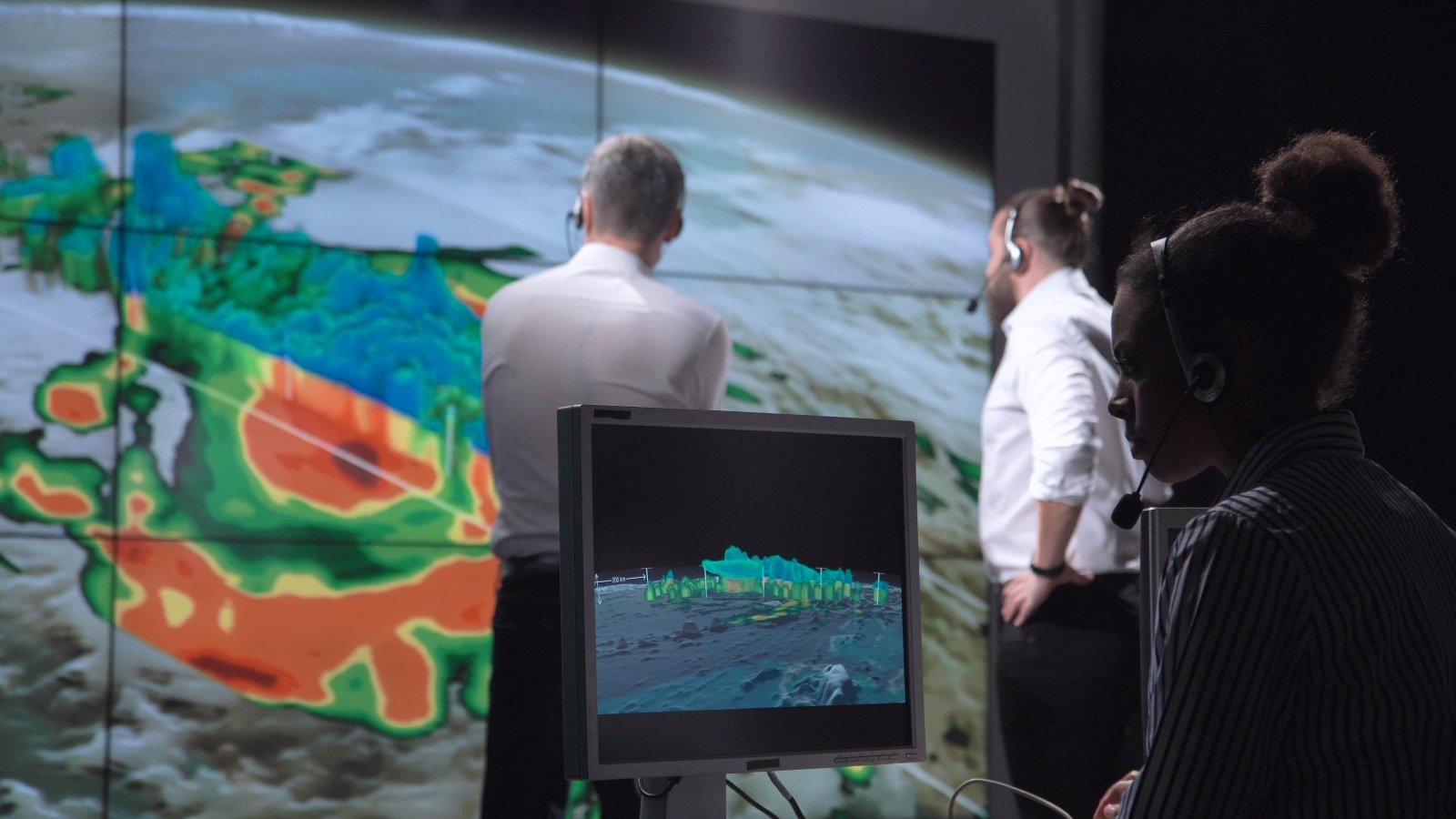
Image Credit: Shutterstock / Frame Stock Footage
By Friday, the National Weather Service predicts rainfall totaling up to 30 inches (or more) for more isolated coastal areas.
According to Charleston, South Carolina’s weather service office, “potentially historic rainfall” is expected.
Again, Climate Change

Image Credit: Pexel / Sebastian Voortman
Once again, the effects of climate change are worsening storms, such as the oceans getting warmer and being able to supercharge storms and fill them up with moisture.
As per a study published in the journal Nature Communications in 2022, climate change boosted tropical storms’ hourly rainfall rates by 5 to 10%, and hurricanes’ by 8 to 11%.
Doesn’t Look Great
Image Credit: Shutterstock / T. Schneider
Referring to Hurricane Debby, the National Hurricane Center said: “Conditions are favorable for strengthening over the Gulf of Mexico with warm sea surface temperatures and light shear. Intensification is likely to be slow during the first 12–24 hours, then proceed at a faster rate after the cyclone develops an organized inner core.”
Tornado-Type Terror
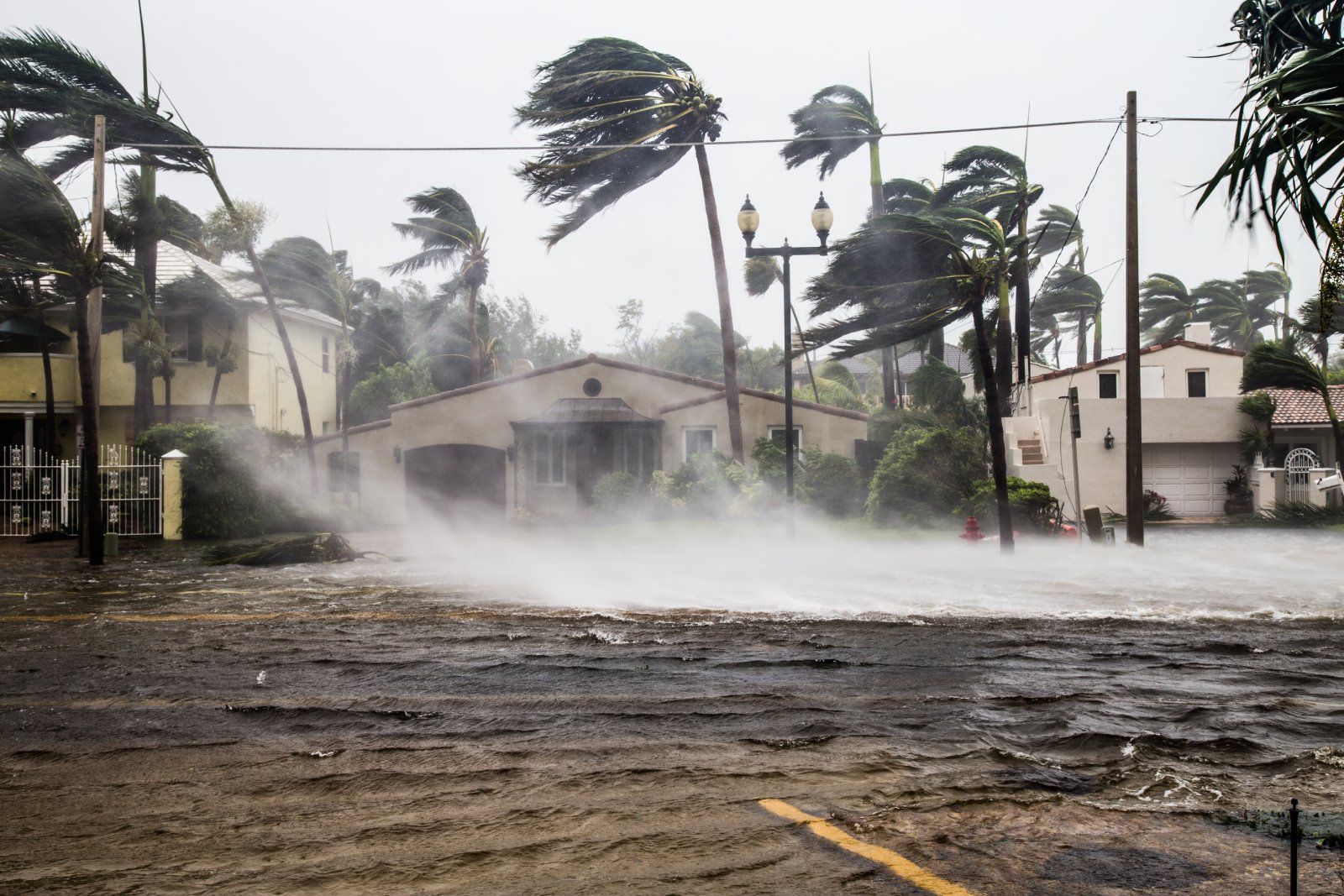
Image Credit: Shutterstock / FotoKina
From the storm’s center, winds classified as hurricane force reached as far as 45 miles, while winds categorized as tropical storm force extended outward up to 140 miles.
Not the Best Place to Be

Image Credit: Shutterstock / David Pereiras
In a season that forecasters say could become one of the worst storms on record, Florida residents were already bracing for the first hurricane to hit their state this year.
Compulsory evacuations were already in effect ahead of the hurricane in multiple counties in the state.
In Leon County, home to Tallahassee, six shelter schools were opened to offer protection to fleeing Floridians.
What Will Happen?
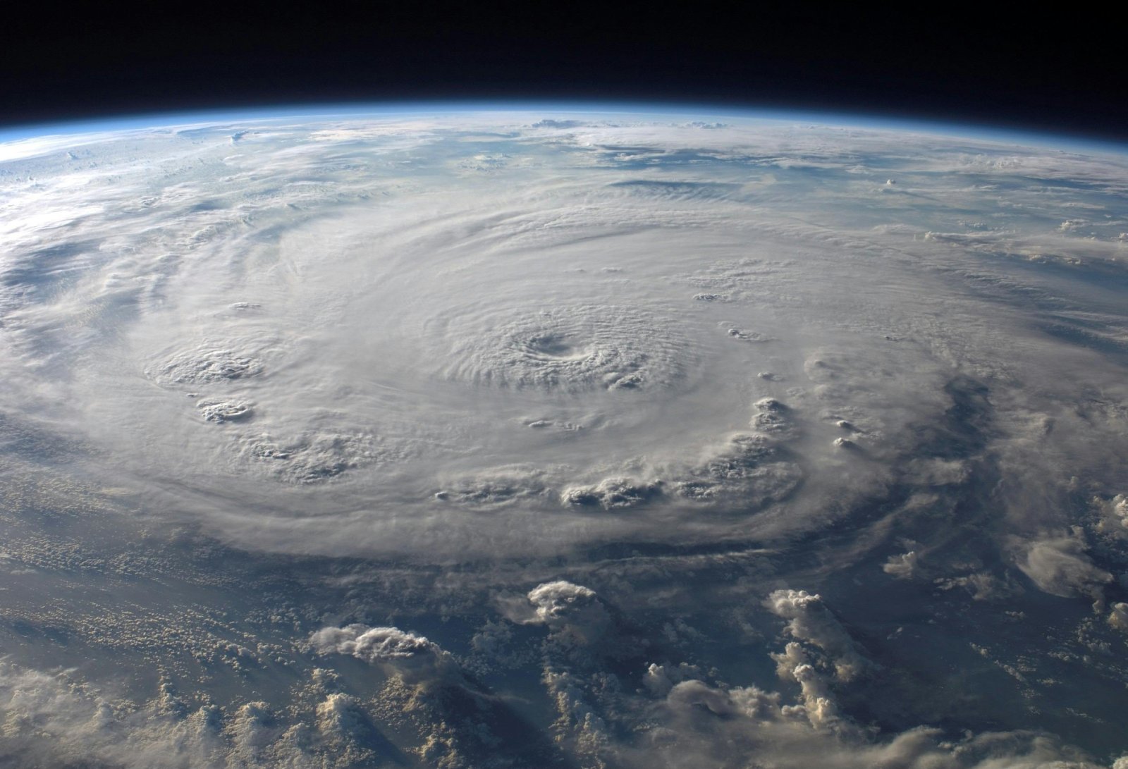
Image Credit: Pexel / Pixabay
Studies are showing that tropical systems are slowing down over time, which raises the odds of them producing greater rainfall totals over certain regions.
Thus, the slower Hurricane Debby moves and the longer it waits over the warming oceans, the bigger the chances are of this becoming a super freak storm.
Who Knows What’s Coming?

Image Credit: Shutterstock / wellphoto
Speaking to CNN on Sunday, Sue Colson, the mayor of Cedar Key in Levy County, stated: “I am worried about the aftermath and seeing how much damage we get (and) how we are going to fix it,” referring to high amounts of predicted rainfall and the looming threat of the storm accelerating.
The city is located on the Way Key island in the Gulf of Mexico, a mere four miles from the coast.
To Be Continued…
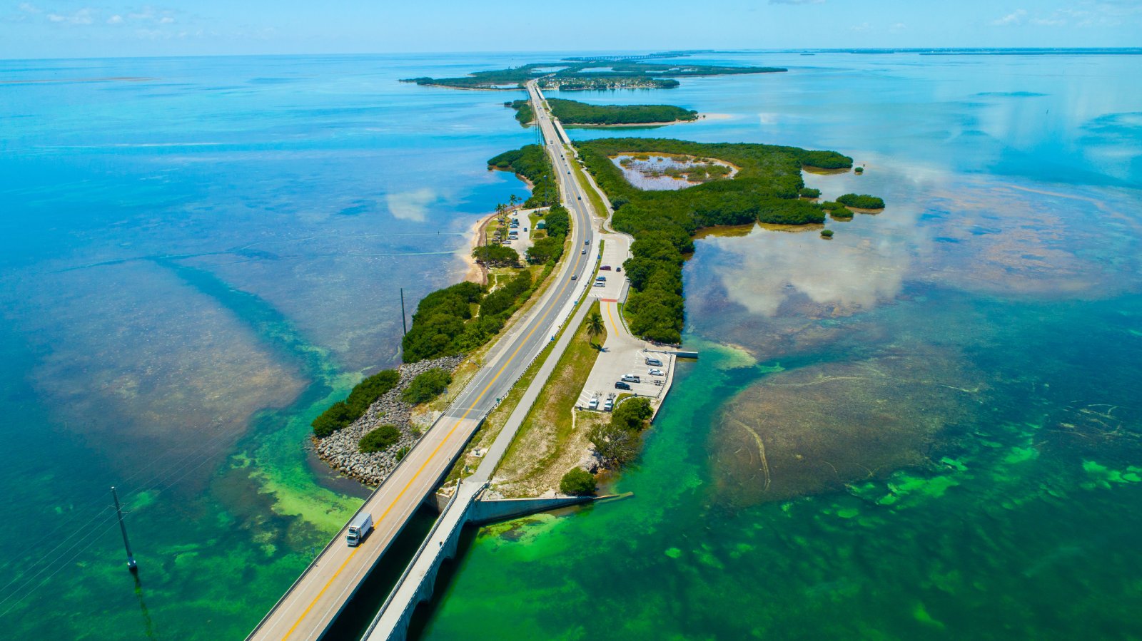
Image Credit: Shutterstock / Mia2you
Colson added: “That is always concerning when you are a low-lying island in the middle of the Gulf.”
Oil Dumping Scandal Rocks Ships Heading to New Orleans

Image Credit: Shutterstock / Aerial-motion
Two shipping companies have been fined after knowingly hiding a large oil spill in the Atlantic Ocean. Oil Dumping Scandal Rocks Ships Heading to New Orleans
20 Eye-Opening Realities Facing Retiring Baby Boomers

Image Credit: Shutterstock / Jack Frog
As Baby Boomers approach retirement, the promise of leisure and security often seems unattainable. This generation faces unique challenges that could redefine retirement. Here’s a stark look at the realities shaping their outlook. 20 Eye-Opening Realities Facing Retiring Baby Boomers
Retail Apocalypse: Massive Closures Sweep Across U.S. Brands

Image Credit: Shutterstock / Tada Images
Stores across the U.S. are closing at unprecedented levels, according to new research from advisory firm Coresight Research. Read on for more information about the impact this could have on you and your communities. Retail Apocalypse: Massive Closures Sweep Across U.S. Brands
Featured Image Credit: Shutterstock / Hunter Crenian.

